We first time heard about the Choro Trail from Olaf in
Samaipata and Laura immediately got fascinated by it, as this trek passes through multiple vegetation zones (from 4800 down to 1300 m in altitude). To me, it also seemed to be an interesting hike.
We started by taking a taxi to La Cumbre, which was a somewhat luxurious option, but we did not have time to figure out when the buses go. I had already been there with my
biking trip. This time, however, we had more time to look around and the weather was significantly better.
 |
| Beautiful mountains at La Cumbre |
From there we started hiking towards the start of the Choro Trail. We missed our turn once and did not take the best route, because openstreetmap was a bit inaccurate. As we were enjoying the gorgeous views, we had a tough time breathing, because we had just recently returned from
Rurrenabaque. In two hours we made it to the start of the Choro Trail, where we were welcomed by horde of llamas.
 |
| Laura catching her breath |
 |
| Wonderful views from the top! |
 |
| Horde of llamas welcoming us to the start of the Choro Trail. |
We knew that from the top the path should mainly descend. As we were getting lower, we realized that we actually took too many clothes with us. Eventually, we made it down to Samañapampa, where we bought a schematic map of the trail and wrote our names in a registration book. From the book we found that there is a group of five Czech guys ahead of us. A couple minutes after the registration point we saw a completely new restaurant. Unfortunately, it was closed, which in my opinion could be the result of centrally planned economy.
 |
| Abandoned restaurant - unfortunately, some countries still haven't realized the advantages of market economy. |
We continued down to Chairo, where we encountered another abandoned facility: a new building for registration, with even couple of rooms for accommodation. We had to pay our 20bs fee for path maintenance a couple of meters further at the stairs of another building that reminded me of an old school. After Chairo the vegetation changed completely. No more snowy peaks: everything seemed to have gained a green blanket.
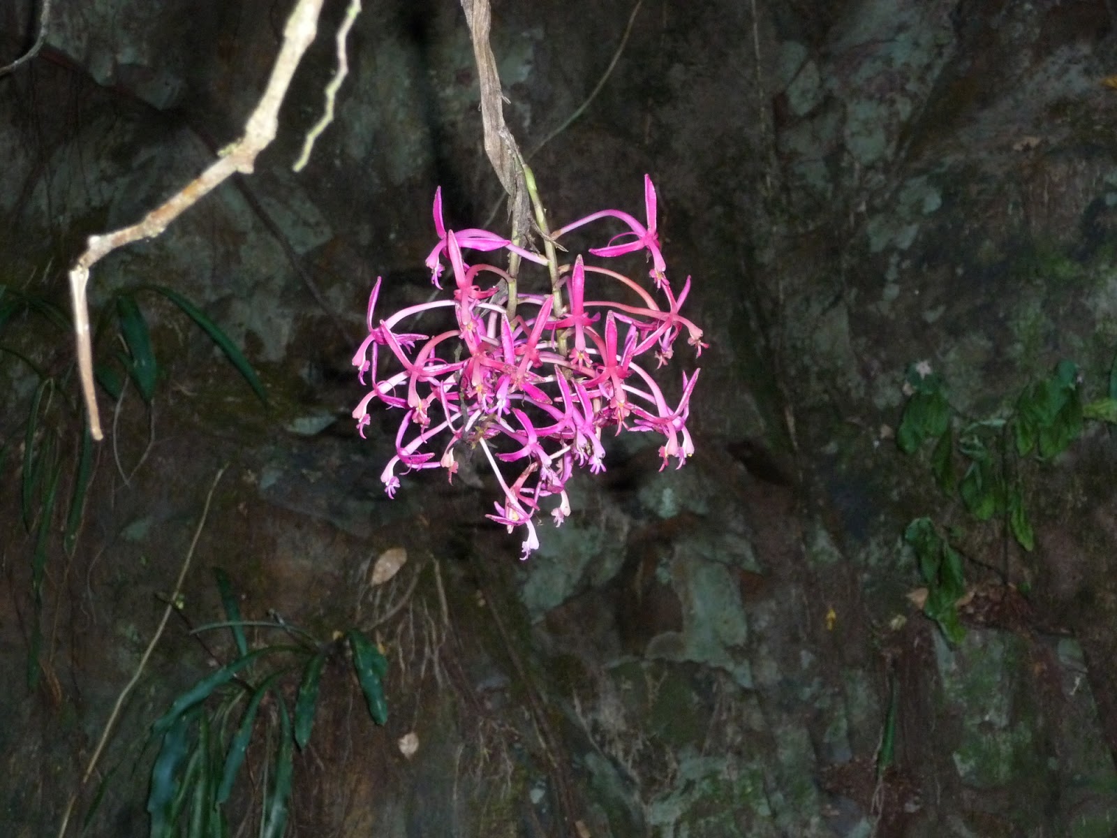
 |
| Laura took a short break from studying the plant, so I could take a picture |
We eventually caught up with the Czech group. They were from Brno and really nice. One of them even recently visited Estonia. They were on quite a tight budget, so they did not camp with us at a nice campsite in Challapampa. Instead, we spent the evening with a Belgian couple, who were on an all-inclusive tour. We stayed out relatively late, because the campsite had electricity, probably supplied from small hydro power plant (we did not hear any diesel generator).
 |
| Laura packing our things in the morning |


No comments:
Post a Comment